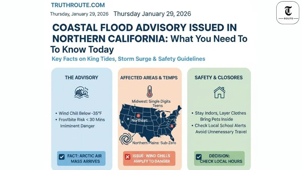
Coastal Flood Advisory Issued in Northern California: What You Need to Know
The National Weather Service issued a coastal flood advisory for Northern California coastlines as king tides combine with incoming storm surge. Expect up to 2.5 feet of inundation above ground level in low-lying shoreline areas during morning high tides Friday and Saturday. Marin County already saw neighborhood flooding; more roads and properties at risk through the weekend.
What Is a Coastal Flood Advisory?
Coastal Flood Advisory means minor flooding expected along shorelines, tidal creeks, and low-lying areas—less severe than Warning but still hazardous. Issued when tides exceed normal levels by 1-2 feet due to astronomical high tides (king tides) plus wind-driven surge. Public safety concern: flooded roads, beach erosion, minor property damage. Different from Flood Warning (life-threatening 3+ ft inundation) or Watch (possible 24-48hrs ahead). NWS Bay Area activated advisory Sonoma to Monterey through Sunday 2pm.
Areas Under Advisory
San Francisco Bay shoreline sees highest risk—North Bay interior valleys, Marin County neighborhoods already inundated. Coastal zones Point Reyes south to Big Sur, including Pacifica, Half Moon Bay beaches. Estuaries, harbors, creek mouths vulnerable. SF tidal gauge predicts 9:34am Friday high tide 2.2ft above normal; Saturday 10:26am reaches 2.5ft (not seen since 1998). Sonoma, Monterey counties under advisory; North Bay mountains Wind Advisory (canceled early Sat). Urban waterfronts, marinas, roads near shorelines primary concern.
High Tides & Dangerous Surf Explained
King tides peak when Earth-Moon-Sun align for extreme gravitational pull—happens few times yearly. Friday-Saturday morning highs enhanced by 1.3ft storm surge from approaching low pressure system. Result: water overruns typical high tide lines by 2+ feet. Breaking surf 10-15ft pounds coastline, creating rip currents and rogue waves. Winds 15-25mph sustained, 50mph gusts coastal/hills exacerbate surge. Saturday storm adds ½-3in rain overnight, worsening drainage near shorelines. Snow levels drop northern Sierra—watch mountain pass travel too.
Safety Guidelines for Residents
Before High Tide Hits: Elevate valuables in low-lying homes—floodwater carries sewage, debris. Sandbag doors/windows (3 layers max effectiveness). Clear storm drains, gutters near property. Fill gas tanks, charge devices, stock 3-day supplies (water, non-perishables, meds). Know evacuation routes—coastal roads close first (Highway 1, coastal blvd). Download NWS app, set alerts for your zip. Pets: leashes, carriers ready; livestock higher ground.
During Flood Event: Stay off flooded roads—”turn around, don’t drown” (6in moving water flips cars). Avoid piers, jetties, beaches—sneaker waves sweep people instantly. Never drive/walk through flooded areas. If trapped rising water: move upstairs, call 911 from safe spot. Flying debris risk high—secure yard items. Cold water shock danger: wear life jackets near shore. Hypothermia sets in 15min 50°F water.
Power & Heat Precautions: Use generators outdoors only (20ft from windows/doors)—CO kills silently. Space heaters away from flammables; never use ovens/grills indoors. Check batteries in CO/smoke detectors. Boil water advisories likely post-flood. Wet appliances: unplug, professional dry-out before reuse. Report downed lines to PG&E—stay 30ft back.
Coastal-Specific Dangers: Rogue waves hit 2x normal height during king tides. Mussel beds, rocks exposed then submerged suddenly. Fishermen: small craft advisory, 15ft seas. Surfers/kayakers: stay ashore. Beachgoers: no collecting shellfish (paralytic toxin risk after floods). Dogs on leash—tides sweep pets instantly. Children: constant supervision near any water.
Post-Flood Recovery: Wait for official all-clear before returning. Walk/wade cautiously—manhole covers float away, creating sinkholes. Powerwash salt/debris from property. Dry wet walls 48hrs prevents mold. Discard porous items (carpets, drywall) exposed >24hrs. Document damage for FEMA/insurance (photos, receipts). Check neighbors elderly/disabled. Wildlife (sea lions, otters) displaced—report injured to Marine Mammal Center.
Long-Term Prep: Elevate electrical panels/outlets 1ft+ above Base Flood Elevation (BFE). Install check valves sewer lines. Landscape with deep-rooted native plants stabilizes dunes. Community: join local CERT training, know neighborhood flood warden. Climate reality: king tides intensify yearly—plan now saves later.
Monitor NWS Bay Area, local emergency sites. Storm system Friday night adds wind/rain—impacts compound. Stay safe, report hazards to authorities.
Updated January 29, 2026, 9:16 PM IST | NWS Bay Area